There was truly never a better time to learn AcrGIS. The resources in our best AcrGIS courses will help you get started. We recommend that you check out multiple Arcgis online courses trailers to get a better feel for each teaching style. We chose these AcrGIS courses based on various factors such as price (free vs paid), duration, instructor, difficulty level and the number of students enrolled. Let’s buckle down and get to it!
This post contains affiliate links. For more information, visit my disclosure page.
The Best AcrGIS Courses in 2021
- ArcGIS Desktop For Spatial Analysis: Go From Basic To Pro
- ArcGIS vs ArcGIS Pro Level 1: Fundamental
- Learning Path: ArcGIS: Get Started with ArcGIS
- GIS & ArcGIS: ArcMap, ArcCatalog, ArcGlobe & ArcScene
- Basics of Python & arcpy , the Python library of ESRI ArcGIS
- Groundwater Potential Zones GIS – Complete Project ArcGIS
ArcGIS Desktop For Spatial Analysis: Go From Basic To Pro
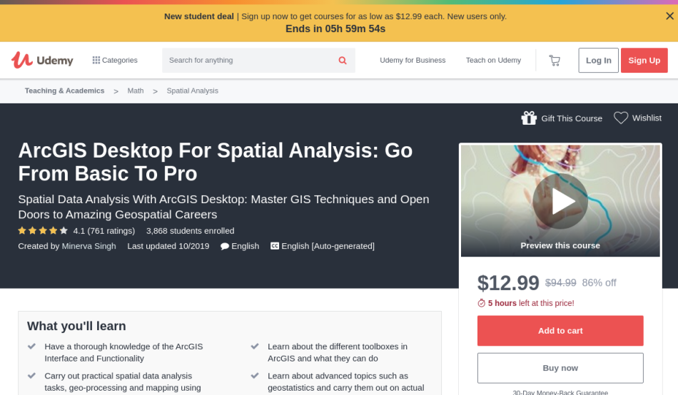
This Udemy course is created to help you learn about AcrGIS. It will teach you the fundamentals of spatial data analysis. At the end of the course, a certificate of completion is available for you to download.
The ArcGIS Desktop For Spatial Analysis: Go From Basic To Pro course is taught by Minerva Singh, a bestselling Udemy instructor and data scientist at Cambridge University. This popular class with more than 3,869 students registered can be found on Udemy.
Skills you will learn
- Develop the essential skills for learning AcrGIS
- Master geoprocessing tasks that can be performed with ArcGIS Desktop
- Enhance your skills through hands-on exercises
- Learn the basic concepts of geo-statistics
- Discover effective tools and techniques in GIS
This course is specially designed for anyone who wants to utilize AcrGIS desktop in academics and professional settings, as well as students taking up geology, hydrology, geography, environmental sciences, and other related fields.
Platform: Udemy
Duration: Almost 5 hours
ArcGIS vs ArcGIS Pro Level 1: Fundamental
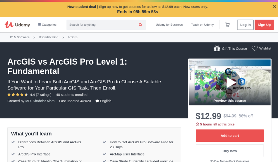
If you’re looking for a complete tutorial on ArcGIS, this Udemy course is the right one for you. It will teach you everything you need to know about spatial data from scratch. Like all Udemy courses, this has a certificate you can download.
The ArcGIS vs ArcGIS Pro Level 1: Fundamental course is taught by MD. Shahriar Alam, a Web GIS specialist and member of OpenStreetMap. As of writing, there are more than 48 students signed up for the class, who found it on Udemy.
Skills you will learn
- Learn the essential tools of ArcGIS and AcGIS Pro
- Determine which interface suits your needs best
- Practice through hands-on exercises, GIS tasks, and case studies
- Understand the basic differences of the AcrGIS platform vs AcrGIS pro
- Discover effective and dynamic tools of ArcMap, ArcGlobe, ArcScene
This online class is a fit for anyone who wants to gain knowledge on ArcGIS and ArcGIS Pro, as well as those who want to learn how to do 2D and 3D GIS.
Platform: Udemy
Duration: Almost 5 hours
Learning Path: ArcGIS: Get Started with ArcGIS
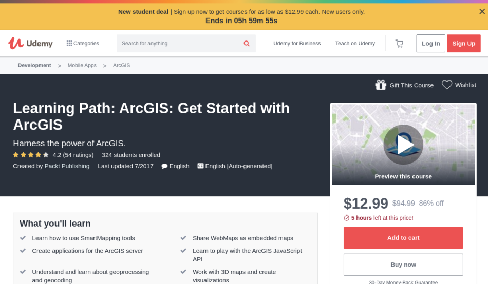
This Udemy class will provide you a perfect comprehension of ArcGIS. It will teach you how to build GIS applications properly. At the end of the course, a certificate of completion is available for you to download.
The Learning Path: ArcGIS: Get Started with ArcGIS course is taught by Packt Publishing, pubisher of Tech Knowledge in Motion, and is available on Udemy. As of writing, there are more than 324 students signed up for this course.
Skills you will learn
- Learn the basic concepts of ArcGIS online and how to build GIS applications
- Develop essential learning on smartmapping and how they are used in exploring data
- Know how 3D maps and relevant visualizations work in the arcgis server
- Understand various tasks like spatial and attribute queries, identification of features, and finding features by attribute
This course is best suited for web and mobile application developers who want to learn about GIS applications.
Platform: Udemy
Duration: Almost 7 hours
GIS & ArcGIS: ArcMap, ArcCatalog, ArcGlobe & ArcScene
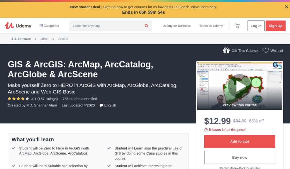
If you’re looking for a course that will give you a good understanding of ArcGIS, this is the right one for you. It will teach you all the basic concepts of Web GIS, ArcGlode, ArcMap, ArcCatalog, and ArcScene. At the end of the course, a certificate of completion is available for you to download.
The GIS & ArcGIS: ArcMap, ArcCatalog, ArcGlobe & ArcScene course is taught by MD. Shahriar Alam, a Web GIS specialist and member of OpenStreetMap, and is available on Udemy. As of the moment, there are more than 735 students enrolled in this class.
Skills you will learn
- Learn the fundamentals of ArcGIS
- Know effective tools and techniques in troubleshooting GIS
- Develop essential knowledge on mapping and geoprocessing
- Enhance your skills through practical case studies
- Master site selection through ArcMap and ArcGlobe
This online course is specially designed for students who want to learn the basic principles of ArcGIS, as well as beginners who want to gain learning on ArcMAp, ArcScene, and ArcGlobe.
Platform: Udemy
Duration: Almost 5 hours
Basics of Python & arcpy , the Python library of ESRI ArcGIS
This online tutorial will teach you everything you need to know about ArcGIS. It will provide you with essential knowledge on the use of the Python programming language for geoprocessing. Upon completion of the course, a certificate is available for you to download.
The Basics of Python & arcpy , the Python library of ESRI ArcGIS course is taught by Ahmad Aburizaiza, an experienced and passionate GIS professional and instructor, and is available on Udemy. As of writing, there are already 2,818 students signed up in the online class.
Skills you will learn
- Learn the basic concepts of ArcGIS
- Understand how to utilize arcpy for GIS
- Be familiarized with the Python programming language
- Know how to run geospatial analysis tools
- Master the use of MXD
This course is fitted for GIS and geography students who want to learn about the essentials of ArcGIS. Similarly, it is suited for GIS technicians, spatial technicians, geomatics, civil and environmental engineers who want to gain knowledge in the use of python programming in for GIS.
Platform: Udemy
Duration: Almost 3 hours
Groundwater Potential Zones GIS – Complete Project ArcGIS
This Immersive Udemy class will teach you all about ArcGIS. It will provide you with essential knowledge on drought analysis, flood risk map, and watershed delineation. Like all Udemy classes, this comes with a certificate at the end.
The Groundwater Potential Zones GIS – Complete Project ArcGIS course is taught by Lakhwinder Singh, a Ph.D research scholar in GIS with Water Resources App. There are more than 461 students already registered in this class, who found it on Udemy.
Skills you will learn
- Understand online data sources in preparing for groundwater zones
- Learn watershed delineation, rainfall map preparation, and soil data preparation through surface datasheets
- Effectively identify flood risk and drought
- Initiate accurate GIS calculations through data preparation
This curriculum is best suited for GIS students and professionals, researchers, water resource engineers, and scientists who want to develop essential learning about groundwater analysis through ArcGIS.
Platform: Udemy
Duration: Almost 4 hours
We hope you found the course you were looking for. These were our favorite Arcgis courses and classes that offer certifications. Are we missing a good resource? Let us know. Cheers to your success!